

Open Street Map is abundant in extraordinary kind of datasets that often are hidden among main features, for example, water towers. Why water towers? Probably because I didn’t see such map of these features in Europe. Possibly this is the first one. If you saw a similar map content, just comment below!
Scope
What needs a mention is that I have extracted all water towers in Europe, including point, polygon and line features. Therefore, the geometry of the data was quite extensive and I just converted all the objects into a common point database.
Methods
To extract man-made water tower feature from OSM I have used FME 2019 software. What was a difficulty here – mainly the size of Europe dataset, about 20 gigabytes. The process lasted about 10 hours so it was quite a time-consuming.
To obtain differentiation in countries I have enriched the OSM dataset by spatial join with natural earth country set. Another addition was an address each of the point. What really helped me in in this was HERE geocoding service. Nevertheless, I noticed that the addressing can be quite inaccurate but hey, even if I get the street, it’s still quite satisfying.
Last enhancement of the dataset was the elevation at which the water towers are positioned. I have used low-quality etopo5 digital elevation model, mainly because of the fast processing and implementing. The GeoTIFF file is rather small and not hardware consuming.
In the end, the final attributes are: OBJECTID, osm_id, osm_timestamp, source_geom, building, source, operator, access, historic, heritage, capacity, height, elevation_etopo5, address_geo, name (country), name_long, name_short, subregion, continent, lon, lat, quant_in_country, rank_quant_country.
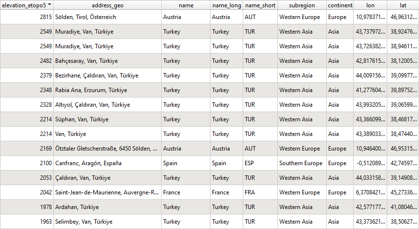
Elevation of water towers
Below I present ranking of water towers in Europe by elevation, did you know that the highest positioned water tower is in Austria, Sölden Tirol? Please mark that’s the ranking including only OpenStreetMap dataset, which may be inaccurate.
If you are interested in tallest water structures, here is a wikipedia ranking.
| Tower | Year | Country | Town | Height |
|---|---|---|---|---|
| Swisscom-Sendeturm St. Chrischona | 1984 | Switzerland | St. Chrischona | 250 m (820 ft) |
| Waldenburg TV Tower | 1959 | Germany | Waldenburg | 145 m (475 ft) |
| Mechelen-Zuid water tower | 1978 | Belgium | Mechelen | 143 m (469 ft) |
| Ginosa Water Tower | 1915 | Italy | Ginosa | 130 m (426.5 ft) |
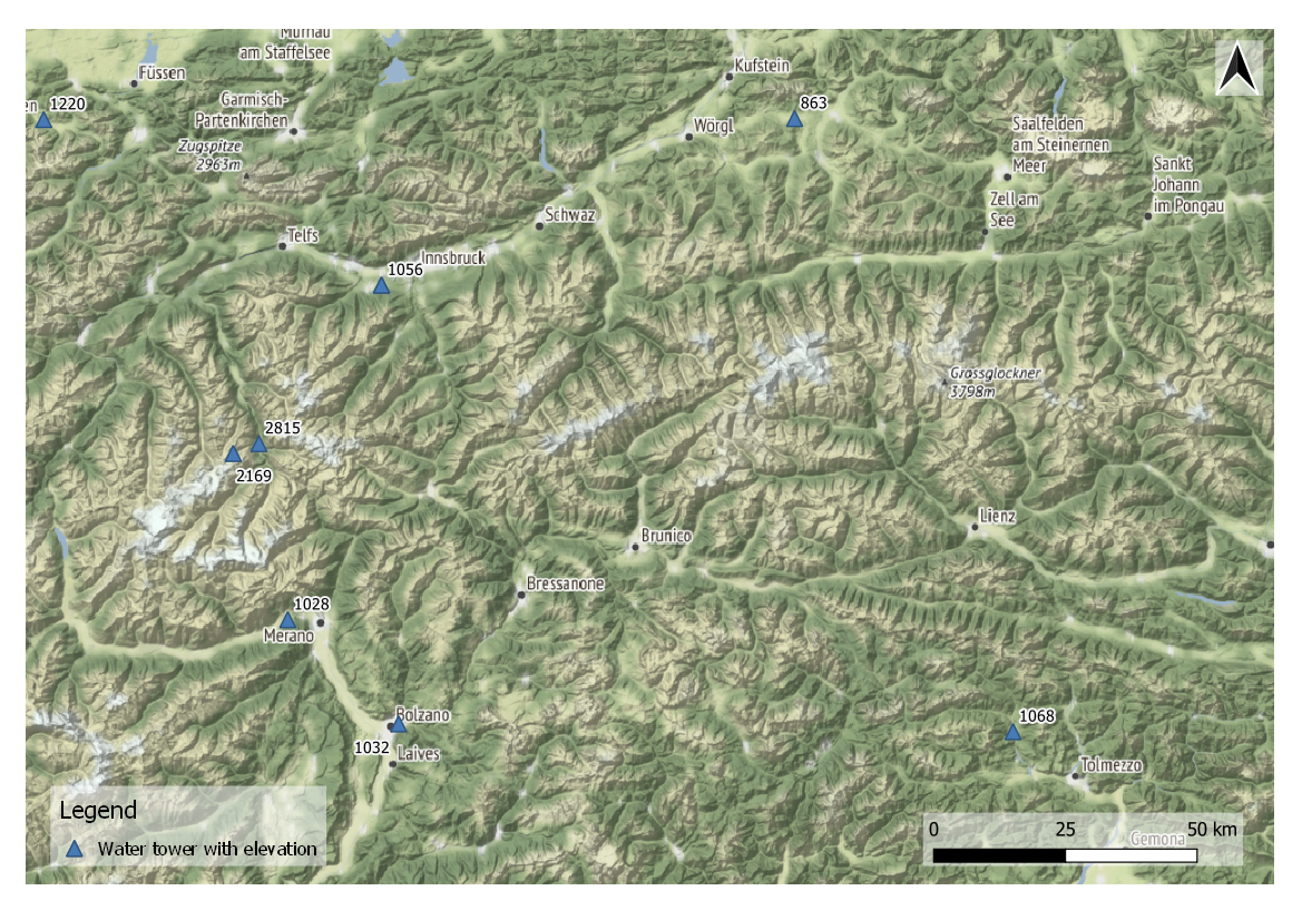
And the final product, map of water towers in Europe.

Further water tower reading
Dataset download
Dataset is available to download in XLSX format at kaggle.com